
The India Meteorological Department (IMD) has forecasted that Southern parts of India including Tamil Nadu, Andhra Pradesh and Puducherry will be hit by a cyclonic storm between November 24 and 26.
This will be the second cyclone in the North Indian Ocean region within a week and the second severe cyclone of the year, after Super Cyclone Amphan in May, in the Bay of Bengal.
The National Disaster Response Force (NDRF) has earmarked 30 teams to launch rescue and relief operations for the two states and the union territory.
Once intensified, it would acquire its name ‘Nivar’, as proposed by Iran.
Currently, the cyclone storm is about 360 km east-southeast of Puducherry and 420 km southeast of Chennai.
The intensity of the cyclone
The depression will intensify into a cyclone sometime on Tuesday. At this stage, the wind speed will range between 65 to 75 km/hr gusting to 85 km/hr
According to the IMD, the cyclone will further gain strength into a Severe Cyclone category (90 to 100 km/hr gusting to 110 km/hr) by Wednesday.
Adverse effects of the cyclone
The maximum hazard due to this cyclone will be caused to Tamil Nadu.
Sea conditions in the west-southwest regions of the Bay of Bengal have turned rough to extremely rough.
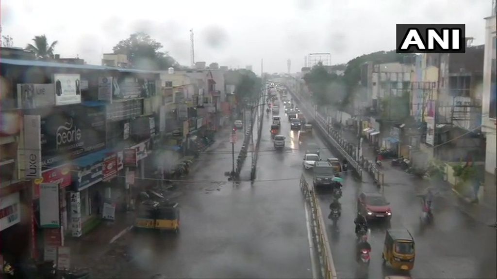
With extremely heavy rain — of over 24.4 cm — forecast on Wednesday, the IMD has placed Tamil Nadu and Puducherry under red alert. Northern districts in Tamil Nadu could experience rainfall more than 24 cm on the day.
Heavy rain (64 to 115mm) is also forecasted over Rayalaseema, Telangana, coastal Andhra Pradesh, Tamil Nadu, Puducherry, Karaikal and south interior Karnataka during November 24-26.
Most of the storm surge would be experienced along the coastal areas between Puducherry and Chennai.
On Wednesday, the sea condition would be high to very highly unfavourable, triggering sea waves up to 10 metres high.
Predicted damage from the cyclone
Temporary houses and huts could suffer damage. Power and communication lines, trees could be uprooted. Standing crops could be hit due to the saline water carried landwards by the cyclone.
The coming days will be very precarious for fishermen, sailing ships and also seaports.


