
India Meteorological Department, in its latest bulletin, said that the well-marked low-pressure area in the southeast Bay of Bengal has intensified into a depression. It is likely to take the form of a cyclonic storm in the next 24 hours and reach Odisha-Andhra Pradesh coast on December 4.
In wake of the cyclonic storm, Odisha government has started to amp up its preparedness by keeping adequate men, machinery and logistics ready to meet the challenge.
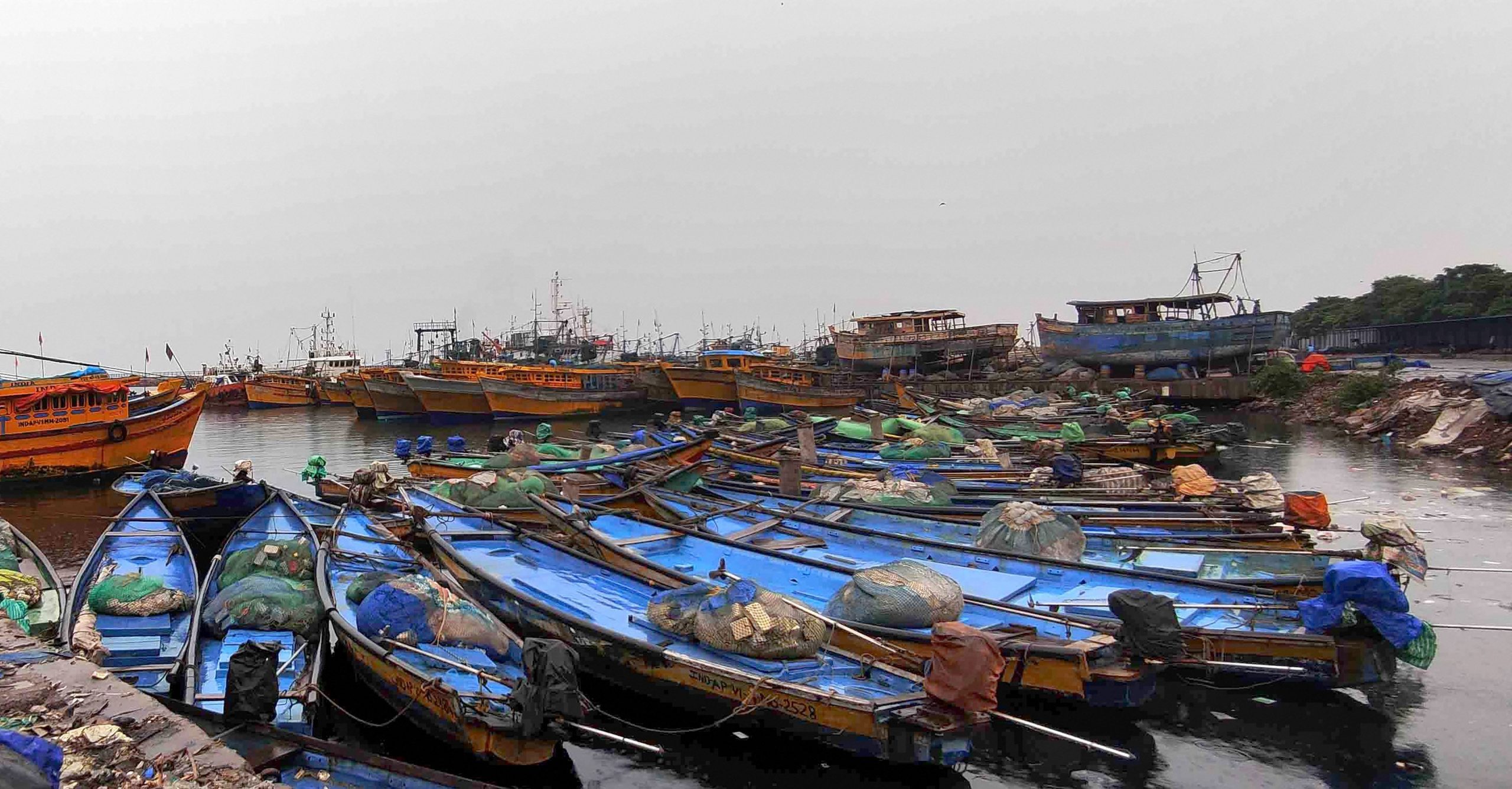
Based on the IMD‘s suggestions the state government has ensured that all fishermen returned to the shore by Thursday evening, special relief commissioner P K Jena said.
According to the IMD bulletin issued on Thursday evening the system has moved west-northwestwards and has concentrated into a depression.
At 5.30 pm it lay centered over the southeast Bay of Bengal, about 960 km south-southeast of Vishakhapatnam (Andhra Pradesh), 1020 km south-southeast of Gopalpur (Odisha) and 1060 km south-southeast of Paradip (Odisha).
The IMD is yet to give details about the possible place of landfall and also what kind of speed will the winds be carrying. However, the meteorological department forecast extreme rainfall activities from Friday and wind speed reaching 100 kmph when the cyclone reaches close to Odisha coast on Saturday.
The bulletin said that most of the models are indicating that the current depression will intensify into a cyclonic storm on Friday. However, there is some divergence among them. These indicate that the system will move west-northwestwards initially and there will be gradual changes in movement to northeast/northnorthwest till December 4 evening, it said.
The system will then re-curve north-northeastwards and some models indicate that the system will cross north Andhra Pradesh-south Odisha coast in the late night hours of December 4.
Odisha special relief commissioner (SRC) P K Jena said the state government has kept 249 teams comprising 17 of NDRF, 60 of ODRAF and 172 teams of fire service personnel ready and has deputed them to the districts for deployment. “As soon as we get detailed information they will be deployed,” he said.
The Indian Coast Guard has already deployed over 10 ships for issuing weather advisory at sea regarding the impending cyclone.
“… A total of 220 boats have been shepherded back safely to harbours. 20 Disaster Relief Teams are ready for the assistance,” the Defence PRO, Chennai tweeted.
The SRC said that if any fisherman is in the sea, he will certainly return to the shore by Friday morning.
Besides all coastal districts have been directed to remain alert and farmers have been asked to harvest their paddy crops.
The state government has already kept ready the multi-purpose cyclone shelters and the authorities have been asked to strictly maintain COVID-19 norms, Jena said.
The East Coast Railways has cancelled 95 trains operating in its jurisdiction for three days.
The IMD said the maximum intensity (wind speed) will be around 90 kmph gusting up to 100 kmph. Odisha coast will experience 40 to 50 kmph wind from December 3 and the intensity will increase to 70 to 80 kmph, gusting to 90 kmph on December 4.
The IMD has issued a red warning of heavy to very heavy rainfall with isolated extremely heavy falls has been issued for the districts of Ganjam, Gajapati, Puri and Jagatsinghpur on December 4. Heavy to very heavy rainfall is also likely at one or two places in Kendrapada, Cuttack, Khordha, Nayagarh, Kandhamal, Rayagada and Koraput while Balasore, Bhadrak, Jajpur and Malkangiri are likely to experience heavy rainfall the same day.


