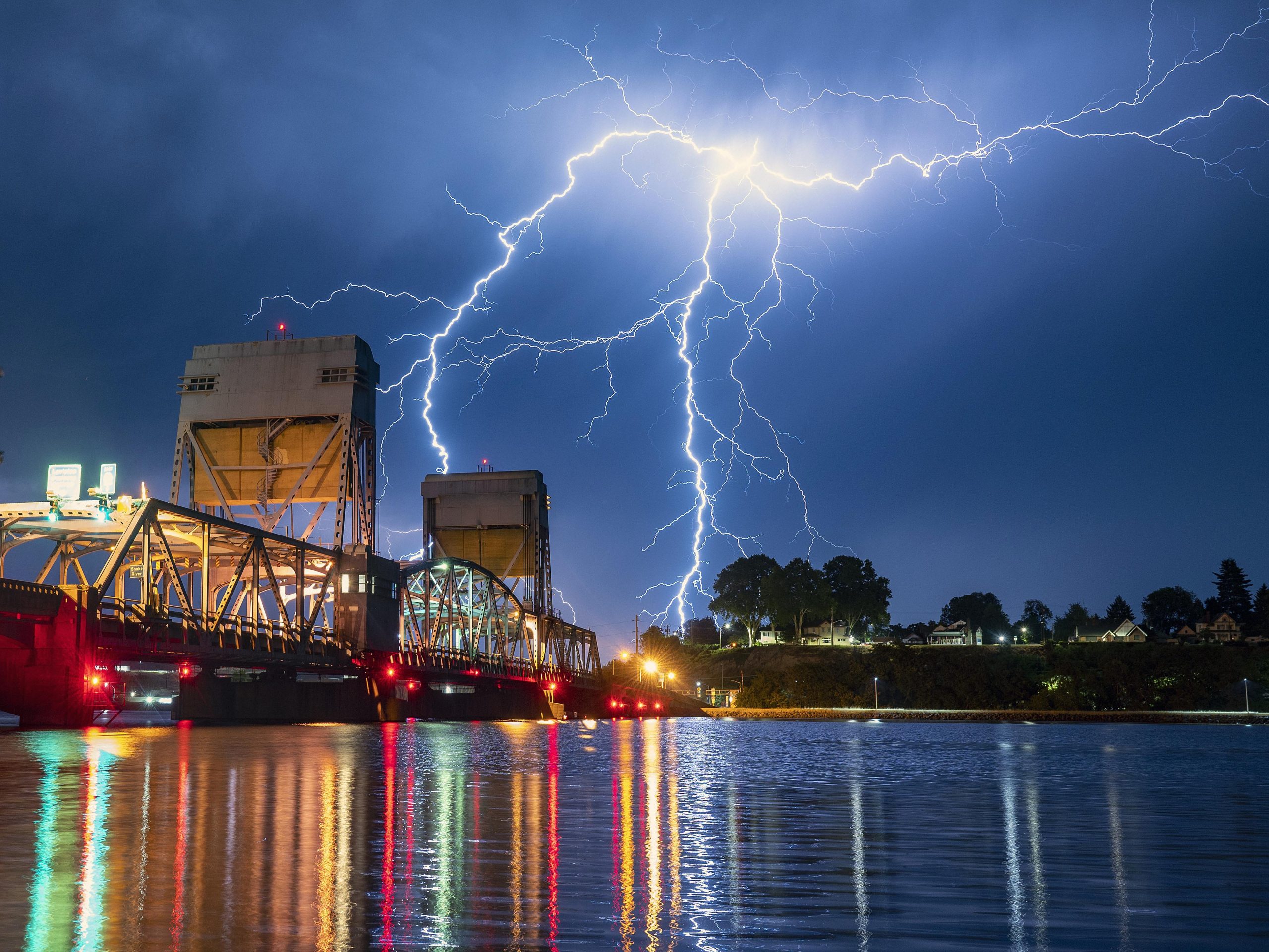
Starting Monday, the wireless notices about severe thunderstorms in the United States will look a bit different. These warnings will now be placed into one of three categories.
The basic criteria for a storm to be called severe are unchanged. Any storm that creates wind gusts to 58 mph or greater, produces hail 1-inch in diameter or larger, or a funnel cloud or tornado is a severe storm. If a storm meets any of these three criteria it will now be considered as the “base” severe thunderstorm warning.
Also read: Explained: What are cloudbursts and why do they occur
The National Weather Service (NWS) has created two additional levels in addition to the “base” warning.
Considerable Severe T-Storm Warning – if a severe thunderstorm will have the potential to produce wind speeds reaching at least 70 mph and/or hail that reaches 1.75 inches in diameter, which is the size of a golf ball or larger, the warning will get a “considerable” damage tag, CBS reported.
Also read: Work and chill: Keeping homes cool becomes easier with these hacks
Destructive Severe T-Storm Warning – if a severe thunderstorm will have the potential to produce wind gusts of 80 mph or higher, and/or hail that reaches 2.75 inches in diameter, which is the size of a baseball or larger, the warning will have a “destructive” damage tag and it will automatically trigger a WEA (wireless emergency alert message) to the user’s phone.
According to the NWS, only 1 in 10 storms in the country classify as severe storms in a year. Thirteen of the 22 deadliest storms in the country have been in a severe category.


