
Calgary may experience more severe weather Friday afternoon after being treated to an amazing show of thunder and lightning Thursday night.
Environment Canada has issued a severe thunderstorm warning for the area as it monitors a storm that is expected to bring damaging winds, hail up to the size of ping-pong balls, and significant rainfall.
The storm was near the village of Priddis, some 40 kilometers southwest of Calgary, and it was moving east at 35 kilometers per hour at 3:15 p.m.
A heat advisory has also been in effect for the past two days in Calgary.
Also Read: Donald Trump trolled for saying 2020 election was “Stollen” in Truth Social rant against Fani Willis
The meteorological service predicted earlier today that powerful thunderstorms are likely to form near the foothills in the afternoon and proceed east. The central foothills are where a tornado is most likely to form on Friday afternoon, according to the report.
On Friday afternoon, there were reports of golf-ball-sized hail in Lodgepole, southwest of Edmonton, on Twitter.
Also Read: Is ESPN bankrupt? Rumors amid layoff spree
Strong wind gusts can scatter loose objects, snap limbs, and overturn heavy vehicles, according to Environment Canada, which also highlighted that large hail can inflict significant injuries.
“Be prepared for severe weather. Take cover immediately, if threatening weather approaches. Lightning kills and injures Canadians every year,” Environment Canada wrote in the warning. “Remember, when thunder roars, go indoors!”
While temperatures are predicted to stay near or above 29 C and overnight lows around 14 C on Friday, they are projected to decline over the long Canada Day weekend.
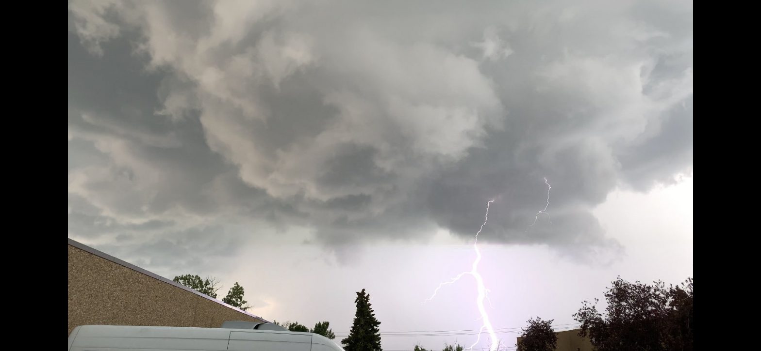
The storm, which brought lightning and torrential rain to Calgary on Thursday evening, was brief but strong. Social media posts included images and videos of downed trees and flooded streets. Some roads were damaged by the storm, including a section of 10th Street N.W. close to the SAIT campus.


