
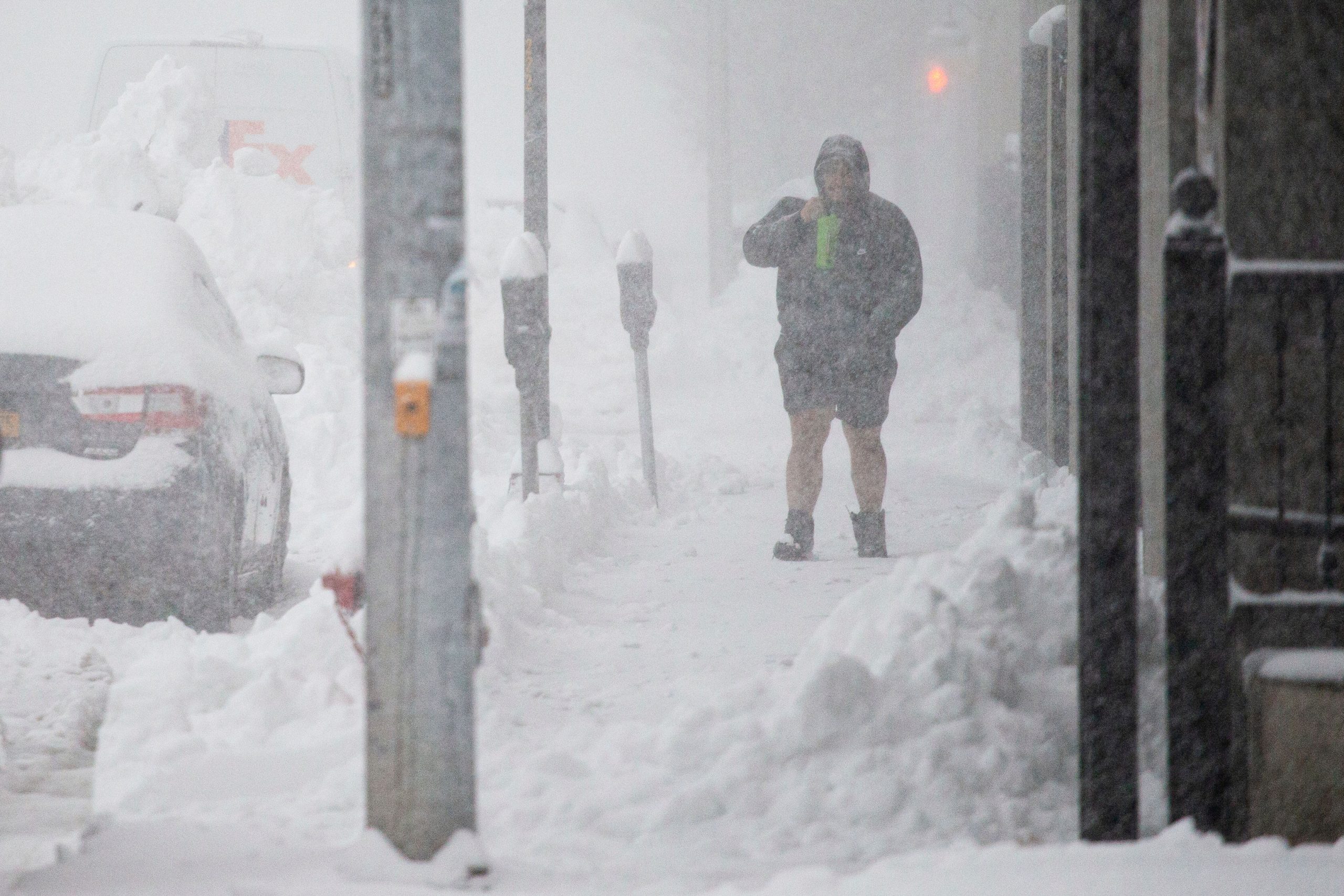
As Winter Storm Elliott (as dubbed by the Weather Channel) moves across the United States this week, it could undergo bombogenesis, or “bomb out,” and become a bomb cyclone as it passes through the Midwest and the Plains.
Kyle Pederson, a meteorologist with the National Weather Service Boston, said that as of Tuesday morning, the weather service had not labeled this week’s storm a bomb cyclone. However, he said that there was a high possibility that it could develop into one.
Also Read | Winter Storm Elliott: Where is bomb cyclone going to hit?
The storm itself is predicted to arrive late Thursday and Friday, the weather service meteorologist said, and the biggest impact on the region will likely be the rapidly flowing cold winds.
“[We] could see wind gusts Friday and Friday night up to 55, 60 mph, especially along the I-95 corridor,” Pederson said. “Another impact, especially coastal communities will want to keep an eye on, is coastal flooding. With this wind and also the high astronomical tides we could see some minor coastal flooding impacts. So those are the two biggest ones.”
What is bomb cyclone?
Bombogenesis or a “bomb cyclone” typically occurs when the pressure of a storm drops at a rapid pace, at least 24 millibars in 24 hours. The atmospheric pressure inside a storm is measured by millibar.
Also Read | Tornado tears through Keithville, Louisiana, leaves 3 dead, including mother, child
This can happen when warm air rises ahead of an arctic air mass with a strong jet stream moving above it, hence bringing in these ingredients together — high amounts of heat, moisture, and rising air.
This is a rare phenomenon as most cyclones don’t intensify quickly in this manner. However, when bomb cyclones are predicted to happen, they put forecasters on high alert, because of the significant harmful impacts they can produce.
Also Read | Seattle area to experience one of the coldest November 29s in recorded history
One of the most common areas where bomb cyclones are known to frequently build up is the U.S. Eastern Seaboard. The reason being the mid-latitudes, which is a temperate zone north of the tropics where the entire United States falls into– draw their energy from large temperature contrasts.
As a result, there’s a naturally potent thermal contrast between the cool land and the warm Gulf Stream current along the U.S. East Coast during winter.
As cool continental air moves overhead, it creates a large difference in temperature. That is when the lower atmosphere becomes unstable and buoyant. When the air rises and rapidly cools, and condenses, it forms clouds and leads to precipitation.


