
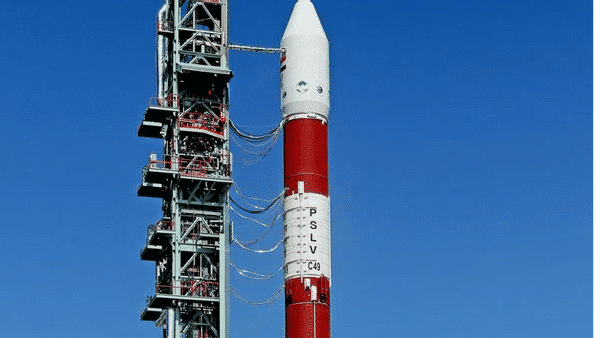
The Indian Space Research Organisation (ISRO) is all set to launch geo imaging satellite GISAT-1 onboard GSLV-F10 rocket on August 12. This is going to be only the second launch of ISRO in 2021 after PSLV-C51 mission on February 28, PTI reported.
The 2,268-kg GISAT-1 was originally slated to be launched from Sriharikota in Andhra Pradesh’s Nellore district, on March 5, 2020. It was postponed a day before the blast-off due to technical reasons. The launch was then delayed due to COVID-19- induced lockdown.
The launch was then scheduled for March 28, 2021, but a “minor issue” with the satellite forced its postponement. It was later expected in April and then in May but it did not work out due to lockdown in parts of India triggered by the second wave of the pandemic.
“We have tentatively planned the GSLV-F10 launch on August 12, at 05.43 am, subject to weather conditions”, an ISRO official told P T I on Saturday.
Also Read: Now private companies can enter India’s space sector, says ISRO’s new policy
GISAT-1 will facilitate near real- time observation of the Indian sub-continent, under cloud-free conditions, at frequent intervals, ISRO stated, adding that it would help in quick monitoring of natural disasters, episodic and any short-term events.
Also Read: Udupi Ramachandra Rao: India’s Satellite Man who supervised the 1975 Aryabhatta launch
The satellite will first be placed in a Geosynchronous Transfer Orbit by rocket GSLV-F10. It will then be positioned in the final geostationary orbit, about 36,000 km above earth’s equator, using its on board propulsion system.
The satellite will provide the country near real-time images of its borders and also enable quick monitoring of natural disasters.
Also Read: India, France working on third joint space mission: ISRO Chairman
Experts said positioning the state-of-the-art agile earth observation satellite in geostationary orbit has key advantages.
“It’s going to be a game-changer in some sense for India. With onboard high resolution cameras, the satellite will allow the country to monitor the Indian land mass and the oceans, particularly its borders, continuously,” a Department of Space official told PTI.


