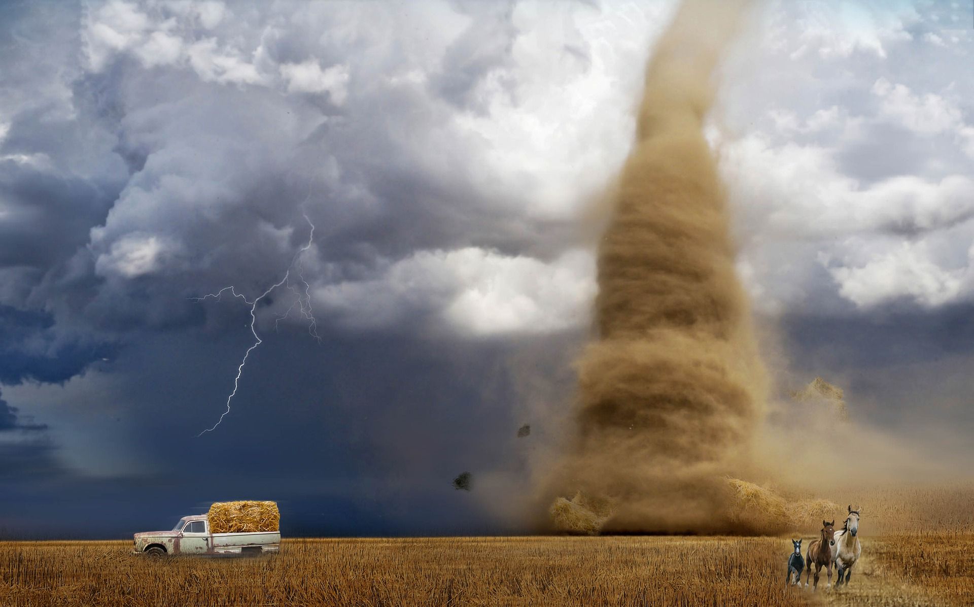
Severe tornadoes rolled through Iowa Wednesday afternoon, causing damage in several sections of the state. Bremer County, especially the Shell Rock region, has sustained damages.
Storms that passed across central Iowa early this afternoon caused damage.
Storms are expected across the state on Wednesday, so central Iowans have been encouraged by the city to remain weather-aware. For areas of central Iowa, severe thunderstorm warnings have been issued. Parts of the state are still under a tornado watch until 9 p.m.
Also Read | Two tornadoes strike China, killing at least 10
The Storm Prediction Center has established a Tornado Watch for I-80 and regions north of the Minnesota border through Wednesday night. According to TV9 Meteorologist Joe Winters, new thunderstorms are forming in central and northwest Iowa, and they will rapidly convert from strong to severe.
“Storms will likely enter the western portion of the viewing area after 5:00 or 6:00 p.m.,” Winters said. “We still think the biggest threat will be damaging wind gusts, but the tornado threat cannot be ruled out, particularly along with a boundary leftover from this morning’s storms.”
Wind and hail are two of the storm’s most disastrous impacts. All types of severe weather will be likely, but the extent of the severe weather will be determined by the amount of sunshine Iowa receives in the mid-to-late afternoon. On Thursday, showers and clouds may continue into the day.
Also Read | Authorities struggle as high temperatures and wildfires rage in US, Canada
According to Winters, due to the extremely high moisture levels in the sky, heavy rainfall is also a possibility with storms. Despite the fact that northern Iowa has been largely dry this year, any recurrent thunderstorms provide a risk of localised flash floods.
Storms will pass through during the night, but the main trend will be diminishing after midnight.
On Thursday, further storms are anticipated, especially south of U.S. Highway 20, although severe weather is unlikely to affect the TV9 viewing area.


