
Visuals of a tornado forming near Lawton, Oklahoma surfaced on social media. Meanwhile, Oklahoma City and Dallas are on tornado watch.
“A tornado watch has been issued for parts of Oklahoma and Texas until 10 PM CDT” the National Weather Service tweeted on Thursday.
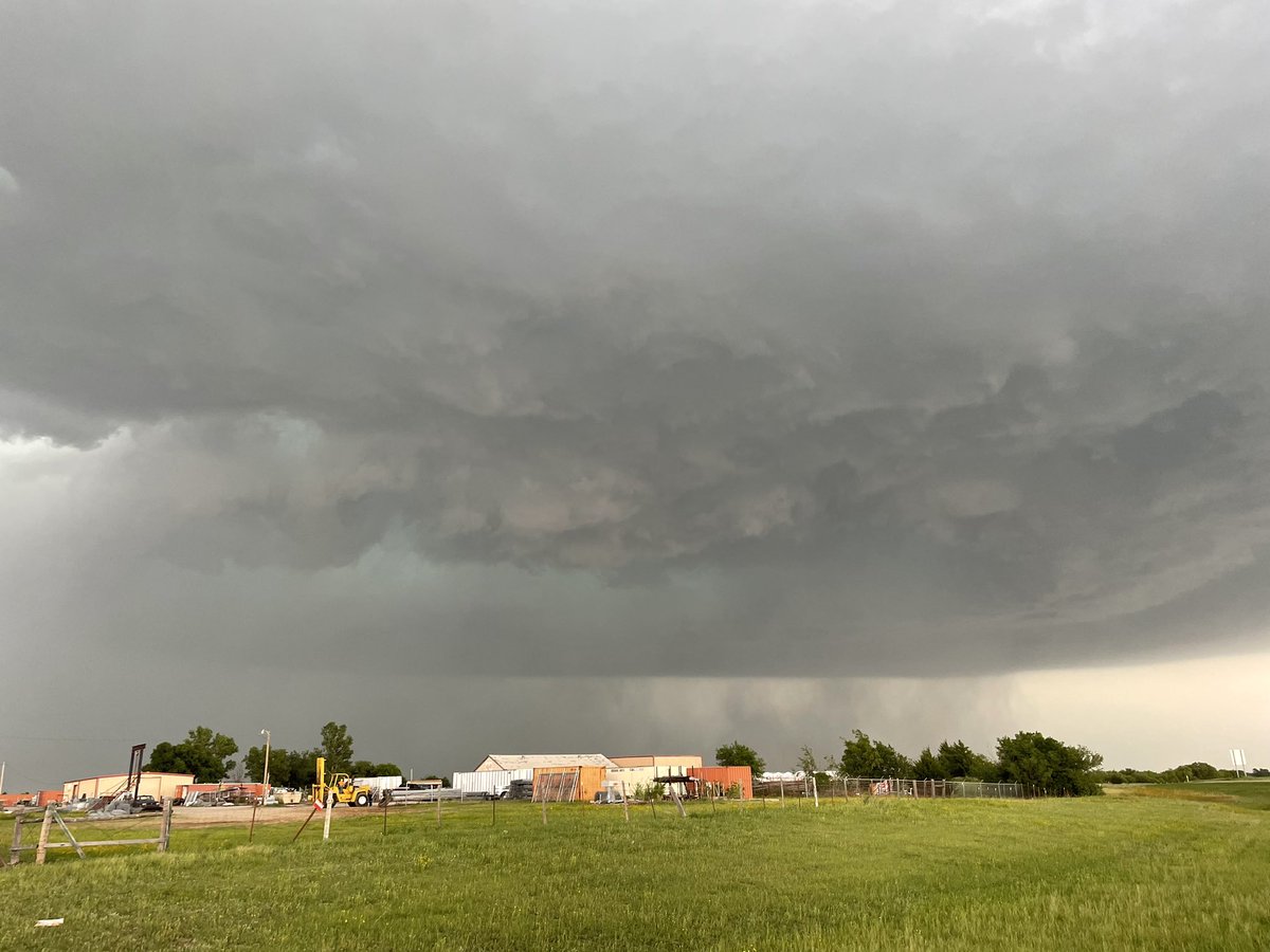
Meanwhile, Twitter users alerted Lawton residents about a tornado forming. They posted visuals.
Also read | Who is Porice Mincy? Woman arrested after allegedly shooting Cameron County DA Paul Malizia
“Widespread severe storms associated with giant hail (larger than 3-4 inches in diameter), intense wind damage (greater than 80 mph) and a few tornadoes are expected from mid afternoon into tonight across western and southern Oklahoma into north and northeast Texas,” the NWS said on its website.
Many warned about possible hail storms.
“Tornado WATCH now in effect until 10 PM for parts of N & Central Texas. This watch includes the entire DFW Metroplex. In addition to the tornado threat, very large hail (larger than baseballs) and wind gusts in excess of 75 mph possible. NOT EVERYONE WILL SEE STORMS,” a Twitter user said.
“A tornado watch is now in effect for western and central Oklahoma and western North Texas. Wind gusts up to 90 mph, giant hail and a few tornadoes are likely in storms through this evening,” another one added.
Reports said that about 20 million Americans from Kansas to Florida are on alert Thursday. A watch is in effect from Mobile, Alabama, to Albany, Georgia, to Tallahassee, Florida.
Also read | Geneva shooting: At least 2 shot at Pebble Beach Ct in Illinois
At 4:34 PM local time, the weather service issued a tornado warning for a storm over parts of Comanche, Cotton and Stephens counties until 5:15 PM. Residents in Lawton, Duncan, southeastern Fort Sill, Central High, Empire City, and Hulen were being threatened by the storm.
Warnings issued so far by the weather service include:
A severe thunderstorm warning issued for Texas County at 3:57 p.m. until 5:30 p.m.
A tornado warning issued for Beaver and Texas counties at 4:18 p.m. until 5:15 p.m.
A severe thunderstorm warning issued for Comanche County at 4:23 p.m. until 5:15 p.m. with radar-indicated baseball sized hail and 70 mph wind gusts.
A tornado warning for areas near Comanche, Cotton and Stephens counties at 4:34 p.m. until 5:15 p.m.
A severe thunderstorm warning for Comanche County issued at 4:45 p.m. until 5:15 p.m. The storm, labeled as destructive, had radar-indicated baseball-sized hail and 80 mph wind gusts for residents in Lawton, Cache, Elgin, Fletcher, Sterling, Medicine Park, Fort Sill, Meers, Lake Ellsworth, Lake Lawtonka, and the Wichita Mountains Wildlife Refuge.


