
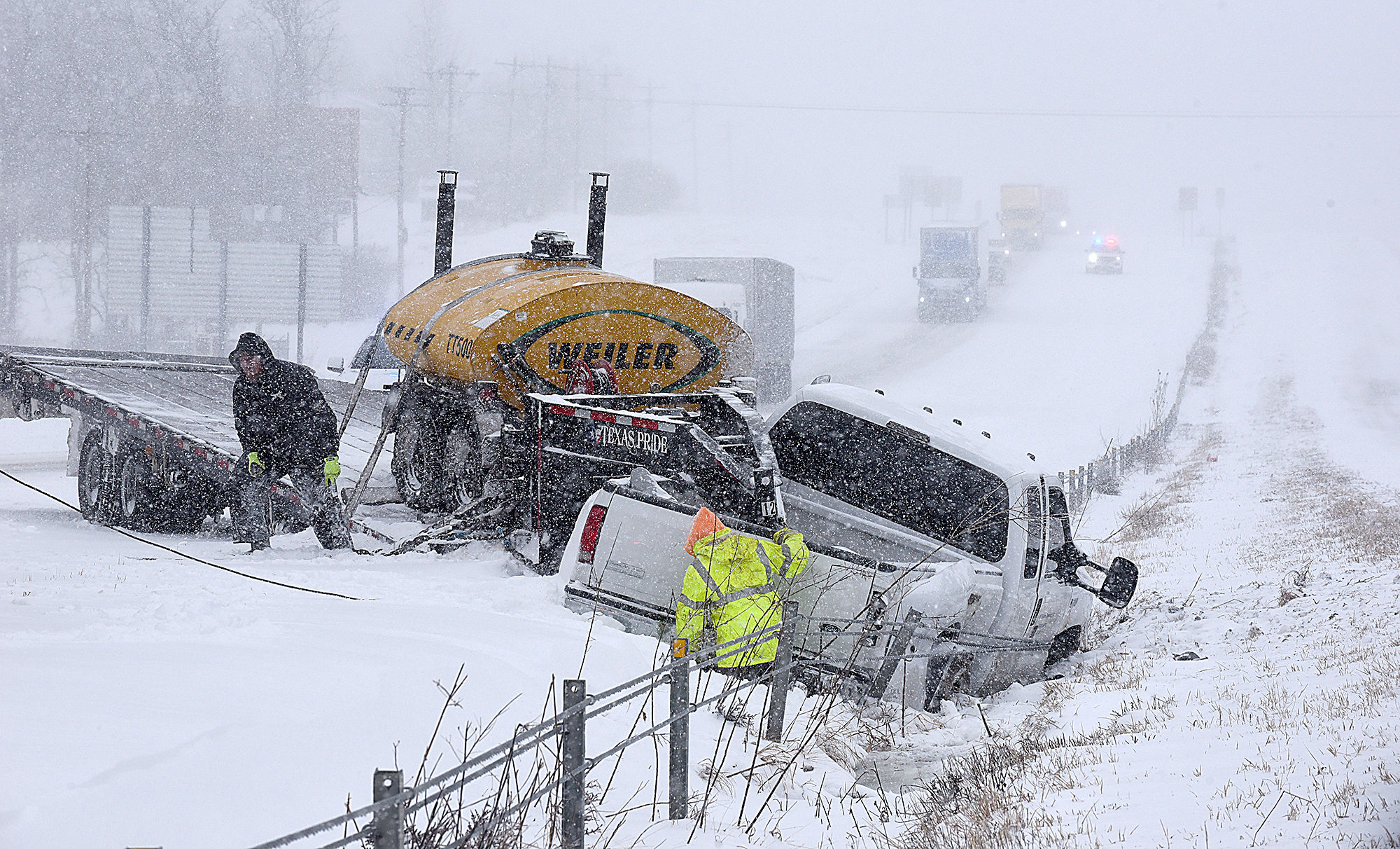
A major storm called Winter Storm Elliott could potentially become a bomb cyclone over the Midwest later this week, according to the Weather Channel.
It can bring blizzards to parts of the Great Lakes as well as high winds to the East Coast, blocking travelers from taking off for their Christmas vacations. The developing storm is slated to usher in bitterly cold air to read far south as Texas, the Gulf Coast, and Florida.
Also Read | Tornado tears through Keithville, Louisiana, leaves 3 dead, including mother, child
Several airlines such as American, United, and Southwest have issued winter weather waivers for the Midwest, Texas, the East Coast, and the Central and Northwest United States.
The National Weather Service has issued winter storm alerts, including watches and advisories as far east as the Midwest ahead of this storm. These include cities such as Chicago, Des Moines, Milwaukee, and Minneapolis-St. Paul and Omaha.
Also Read | Seattle area to experience one of the coldest November 29s in recorded history
Although the exact trajectory of the storm, born out of a low-pressure system, is still uncertain, it has the potential to dump 6 inches or more of snowfall in the western Great Lakes, including the area from Wisconsin and northeastern Illinois to Michigan and northern Indiana. The Great Lakes snow belts could see more than a foot of snow. Winds blowing over the lakes may increase the snowfall downwind of lakes Superior and Michigan.
The area between the Plains of Nebraska to Kansas and central Indiana to Ohio has a chance of getting around five inches or less snow.
Wind speeds are expected to increase in the Plains beginning Wednesday night into Thursday. However, the strongest winds from this storm are expected on Friday into early Saturday in the Midwest and along the East Coast from New England to Georgia Friday, according to the Weather Channel.


