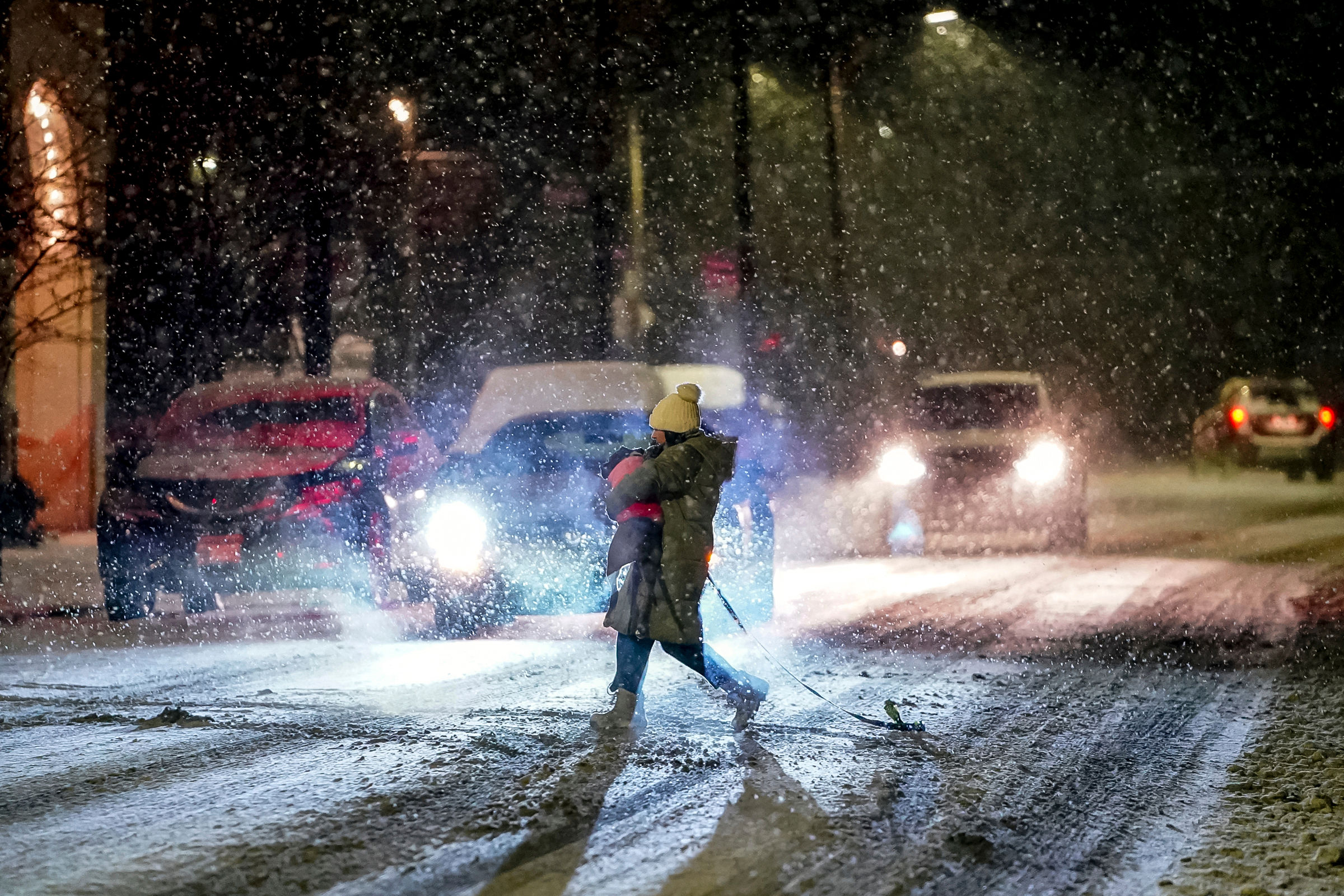
As a winter storm tears through the United States, peak stormy conditions are expected to arrive on Thursday night in Portland, Oregon, and Seattle, Washington, and continue through Friday morning, bringing snow and freezing rain.
The combination of snow, freezing rain and gusty winds are expected to hit the area with high temperatures in Seattle expected to reach the middle 20s on Thursday. It will continue to increase into the upper 30s on Friday and the upper 40s on Saturday and near 50 on Sunday.
Also Read | Bomb Cyclone in the US: What is a snow squall?
In Portland, snowfall is expected to be minimal before it quickly changes to freezing rain. Temperatures will shift from the upper 20s on Friday to the middle 40s on Saturday and then to the upper 40s on Christmas Day.
On Tuesday, rain changed to snow in Seattle and 0.6 of an inch of snow had accumulated by the end of the day. An additional 0.3 inch was deposited on Wednesday. “Once the wintry mix starts, a buildup of ice may continue through Friday,” AccuWeather Senior Meteorologist Bob Larson said of major cities west of the Cascades. Wind Chill Advisories are up for the foothills and parts of the North Interior.
Also Read | 5 ways to protect your home from winter storm Elliott
Holiday travel might become difficult, with the roads becoming increasingly treacherous during this time. Road conditions could become extremely difficult and dangerous due to the prolonged period of ice. One of the areas expected to get affected is the east of Portland, along Interstate 84, as precipitation may start as snow, before changing to ice.
The buildup of ice combined with the strong winds will raise the risk of power outages. Sporadic tree damage can result from the period of icing in Western Washington from very early Friday morning through Friday afternoon.
Also Read | Kentucky governor Andy Beshear declares state of emergency for ‘Bomb Cyclone’
The Northwest will gradually get warmer air later on Friday, causing freezing rain to transition to plain rain in coastal locations. Heavy rain in parts of the area on Christmas Eve could lead to localized flooding, especially if any storm drains are clogged with ice. Rain is forecast to continue in the Northwest on Sunday and Monday then extend southward into California by Tuesday.
Olympia and Vancouver are two locations in Washington where the ice accumulation could be significant. Down south, Astoria, Salem, and Portland are just a few of the cities in Oregon where forecasters are concerned about ice accumulation


