
The Indian Meteorological Department (IMD) said that Cyclone Jawad is likely to reach off North Andhra Pradesh and Odisha coast by Saturday morning after the deep depression intensified into a cyclonic storm on Friday noon. IMD predicted rainfall to pick up the intensity on December 4 as it moves along the coast to make landfall the next day near Odisha’s Puri.
The Met, after a pre-cyclone watch was issued on December 1, has issued alerts related to heavy rain and high wind speed for Andhra Pradesh, Odisha and Gangetic Plains of West Bengal and some northeastern states.
Also read: Two intense weather systems likely to bring widespread rain, thunderstorms
Andhra Pradesh and Odisha are expected to witness the maximum impact of Cyclone Jawad as it is likely to reach up to 7–80 kmph gusting to 90 kmph by Saturday evening.
On Saturday, heavy to very heavy rainfall at a few places and isolated extremely heavy rainfall is likely over north coastal Andhra Pradesh. IMD has issued a red alert for Visakhapatnam, Srikakulam and Vizianagaram in view of heavy rainfall along with high wind speed.
Meanwhile, a few places over coastal Odisha are likely to receive heavy to very heavy rainfall while isolated places in the region are expected to receive extremely heavy rainfall.
Also read: Two intense weather systems likely to bring widespread rain, thunderstorms
The Met department has predicted heavy to very heavy rainfall at a few places with isolated extremely heavy falls (more than 20 cm) over Odisha’s Gajapati, Ganjam, Jagatsinghpur districts on Saturday. Heavy to very heavy rainfall is expected over Koraput, Rayagada, Kandhamal, Nayagarh, Khordha, Cuttack, and Kendrapara.
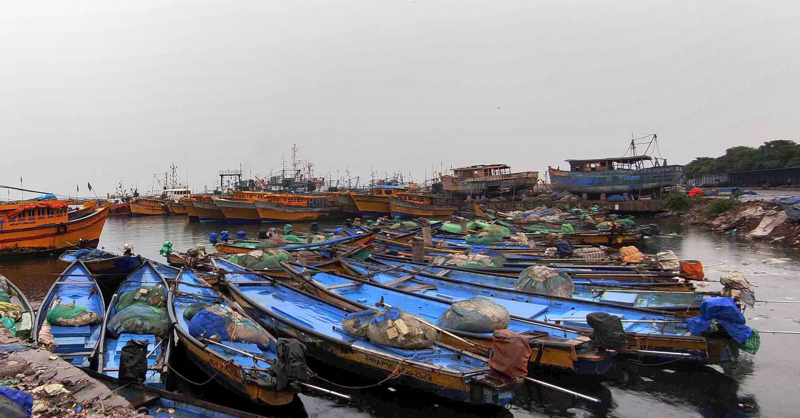
The Met has advised fishermen not to venture into the west-central and northwest Bay of Bengal and along and off north Andhra Pradesh, Odisha and West Bengal coasts through December 5.
Also read: Cyclone Jawad to hit Odisha, Andhra coasts on December 4: IMD
Major damage to thatched houses and breaking of tree branches and uprooting of trees are expected as the cyclone reaches near the coast. Power and communication lines can also witness minor disruption.


