
NASA Earth on Tuesday shared satellite images of massive congestion seen in the Suez Canal, around the route that connects the Mediterranean Sea to the Red Sea, after the busiest waterway was freed following days of blockage by a giant ship, Ever Given.
Also Read: Suez canal blockage may have been caused by ‘human error’
In the three-part collage, the canal’s area can be seen jam-packed with ships and water vehicles as the maritime route resumed sail on Monday for thousands of ships stranded on the waterway for almost a week.
Also Read: ‘Evergreen’ or ‘Evergiven’, what is the name of the ship stranded in Suez?
Here’s the image.
“By March 27, the line of waiting ships stretched 72 kilometres (45 miles). Two days later, ships waited as far as 100 kilometres (60 miles) from the canal entry. According to Leth Agencies, 184 vessels were still waiting to get through on March 30,” NASA Earth wrote on Facebook.
Also Read: Suez Canal mishap turns into meme fest
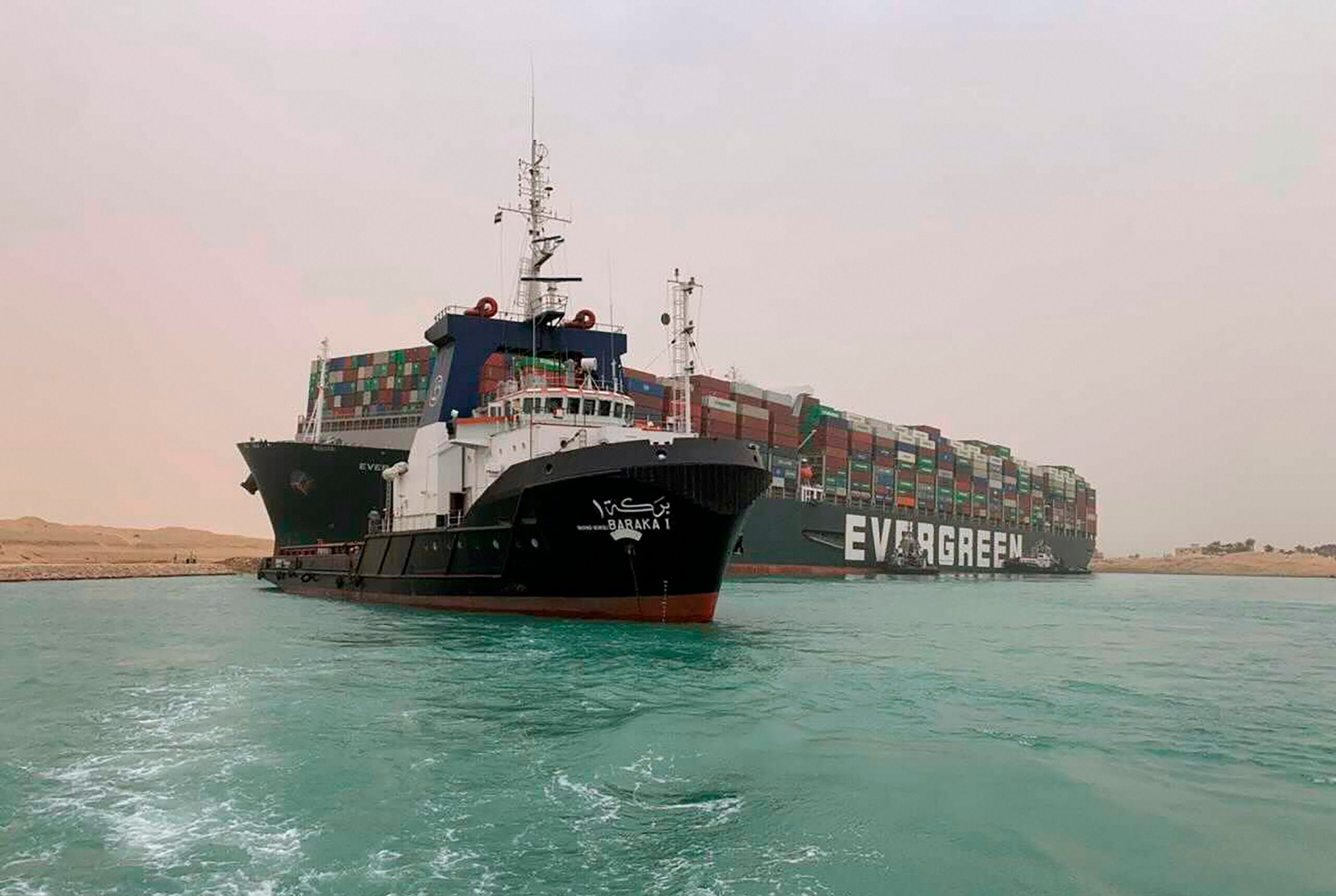
The colossal cargo ship Ever Given, which has blocked the crucial waterway of Suez Canal for nearly a week, was freed, resuming traffic across the major East-West shipping route on Monday.
The ship, nearly as long as New York’s Empire State Building, was wedged in the banks along the canal during a sandstorm last Tuesday, causing a major blockage of hundreds of ships on both sides of the canal.


