
An Indian Space Research Organisation (ISRO) rocket carrying an Earth Observation Satellite (EOS) and a co-passenger satellite AzaadiSAT, suffered data loss in the final phase.
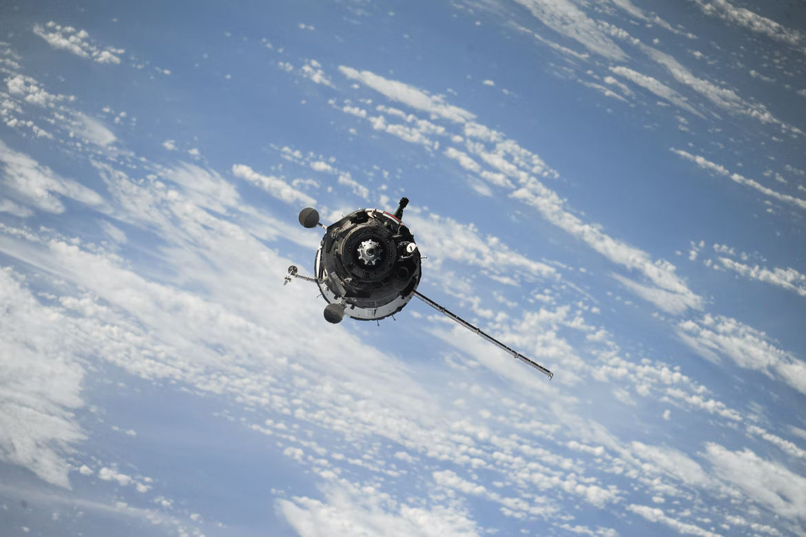
Earth observation satellites, also known as earth remote sensing satellites allow humans to observe planet earth from space. Sputnik 1 was the first EOS and was the Soviet Union’s first artificial satellite which they launched into the earth’s orbit in 1957. It was used to study the ionosphere, the topmost layer of the earth’s atmosphere.
The US was the next to send an EOS into the earth’s orbit. It was called Explorer 1 and was sent to space in January 1958. Most of these EOS operate at around 500-600 kilometres away from the earth’s surface and due to the air drag they face at a lower altitude, the orbits have to be rebooted frequently.
Also Read | ISRO rocket carrying 2 satellites experiences data loss in final phase
These satellites have various applications, including environmental monitoring, cartography, and navigation, among others. It is also used by military powers in various countries for counter-surveillance and communication. However, the most common application of the EOS is taking images of the earth, which can be viewed on the application called Google Earth.
The EOS is usually placed in a polar orbit at a point where it can get a view of the entire earth, based on the relative motion of the satellite and the earth’s movement around its polar axis. For an orbital period of 24 hours, equalling a day on earth, the EOS is placed in a geostationary orbit, 36,000 km away from the planet’s surface.
Also Read | Why moon caves could provide perfect shelter for astronauts
India mostly uses EOS technology to provide high-quality images irrespective of the weather conditions. This mostly comes useful in Agriculture, Forestry & Plantations, Soil Moisture & Hydrology, and Flood mapping. Another way India plans on using these satellites is to understand ionosphere dynamics and the sun’s coronal heating processes.


