
Israel and Gaza have become highly volatile since the conflict escalated last week. Hamas, the Islamist militant group that controls Gaza, fired rockets into Israel after violence broke out at the Al Aqsa mosque in Jerusalem. Israel retaliated with massive airstrikes. The flare-up has left more than 200, mostly Palestinians, dead in Gaza and 10 in Israel.
Also read: Watch: 12-year-old rapper from Gaza says ‘nothing has changed’ in powerful song
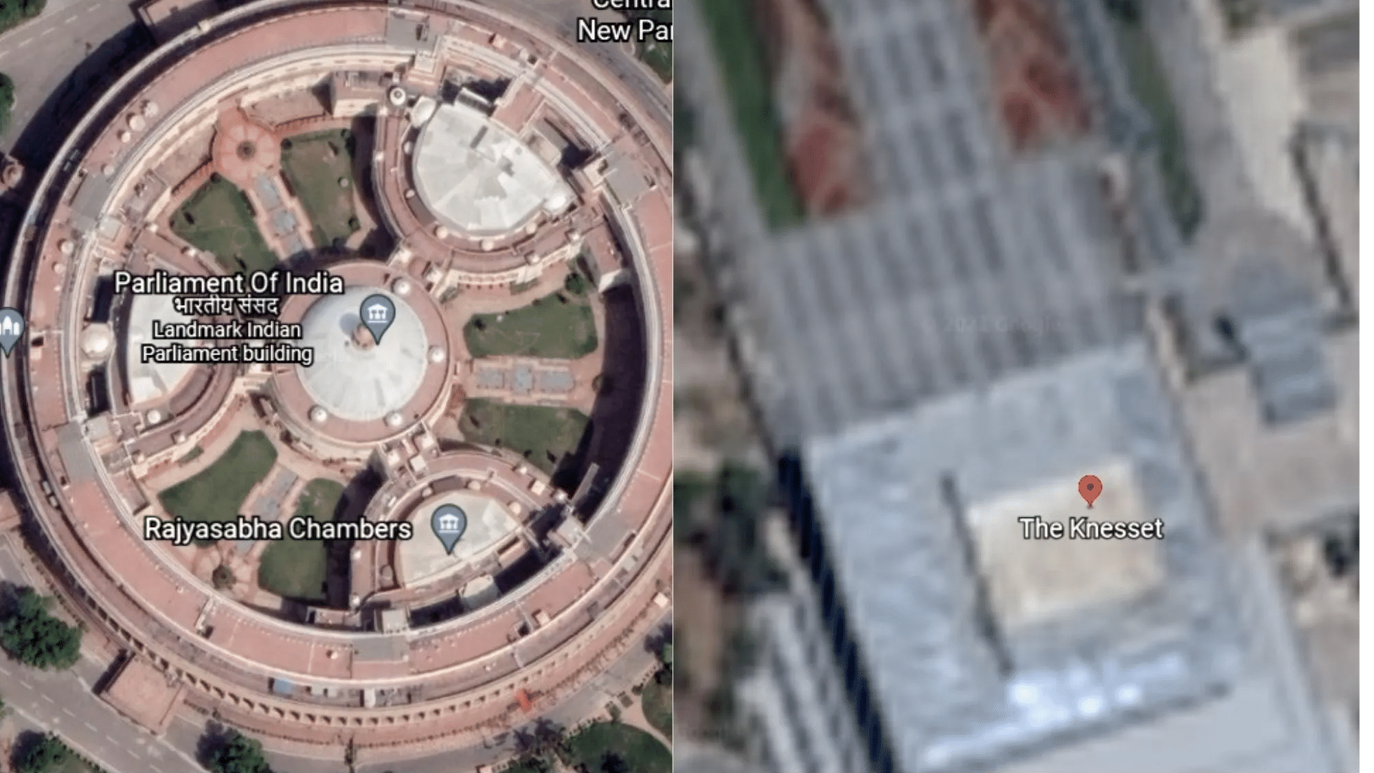
Generally, while tracking such a conflict, investigators rely heavily upon satellite imagery. But, on Google Earth, which is the most widely used image platform, if one searches for either Israel or Gaza, highly low-resolution images will appear.
Here’s a comparison between images for Israel’s Knesset (legislature) and the Indian Parliament.


Similar blurred images appear if one searches and zooms in the Gaza city.

Not only this, one can even get high-resolution images of Pyongyang, the capital of the hermit country, North Korea.
Also read: Explained: What has led to recent Israel-Palestine clashes in Jerusalem
Why does Google Earth show blurred images for Israel, Gaza?
Up until July last year, the US government had restricted the quality of images of Israel and Palestine that an American company could provide. The regulation, known as the Kyl-Bingaman Amendment, didn’t allow US platforms such as Google Earth to show items smaller than 2 metres.
This censorship was however lifted last year, which had left Israel worried.
“We would always prefer to be photographed at the lowest resolution possible,” Amnon Harari, head of space programmes at Israel’s Defence Ministry, said last year, Reuters reported.
“It’s always preferable to be seen blurred, rather than precisely,” he added.
Also read: In flurry of calls to the Mid-East, Blinken seeks de-escalation between Israel and Palestine
If the censorship was lifted, why are Israel, Gaza still blurred?
Google told the BBC that its images come from several providers and that it considers “opportunities to refresh [its] satellite imagery as higher-resolution imagery becomes available.”
It’s, however, not known when the images will be updated.
Also, Apple told the British media house that it was working to update its maps to a higher resolution.


