
Hurricane Ian hit the western coast of Cuba early on Tuesday morning shortly after being classified as a Category 3 storm, according to a report from the US National Hurricane Center.
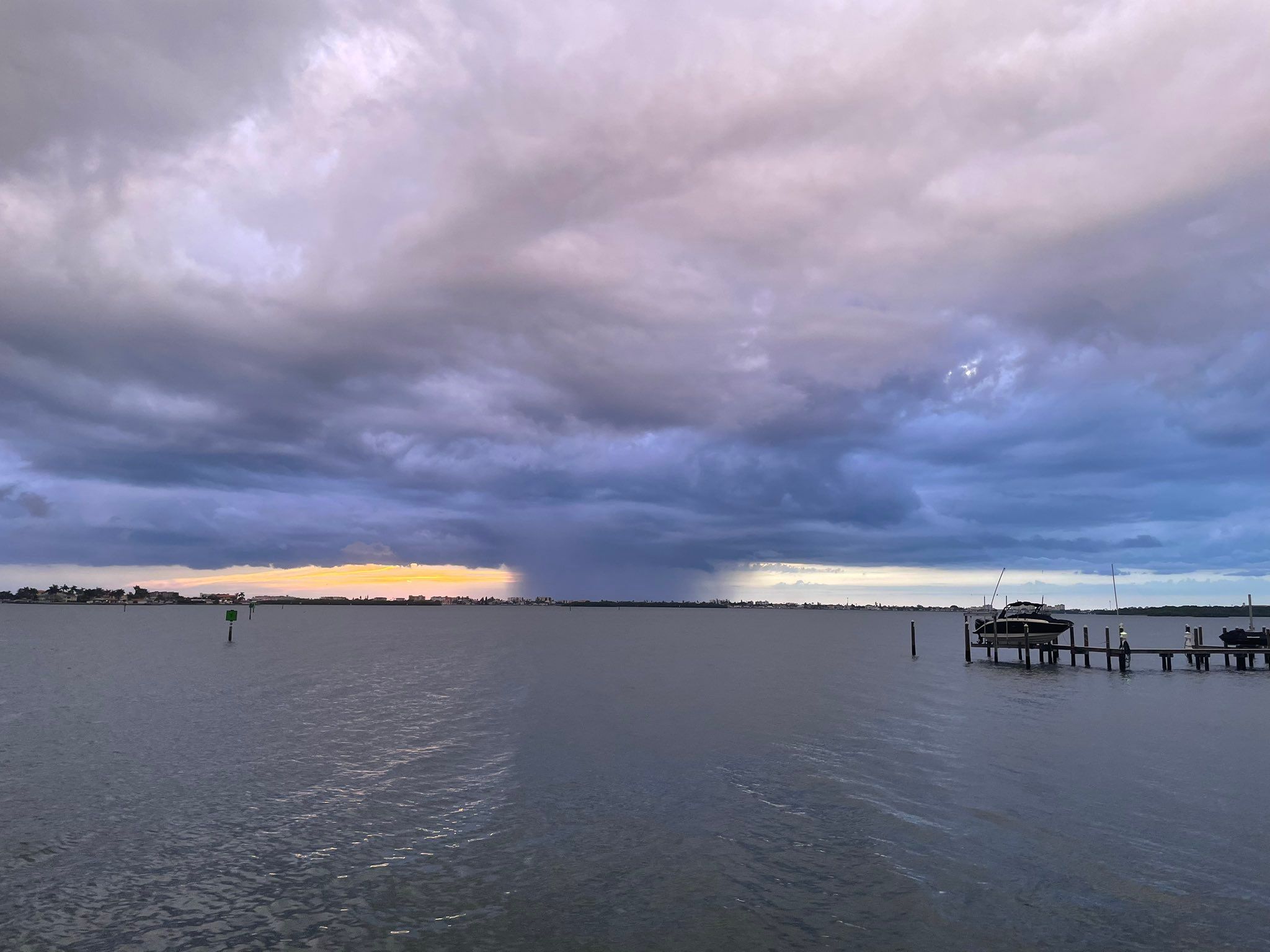
It is expected to make landfall on the coast of Florida in the next 48 hours even as citizens of the Sunshine State scramble for cover. The northbound hurricane will pass through the Gulf of Mexico where it will likely expand and lead to high amounts of rainfall in coastal Florida. There are predictions that the rainfall levels will reach at least 10 inches and go as high as 15 inches in some areas when Hurricane Ian makes landfall.
Also Read | 3 reasons why Hurricane Ian hitting Florida can lead to severe flooding
What is Hurricane Ian?
The US National Hurricane Center first detected Ian as a tropical wave to the east of the Windward Islands on September 19. The wave moved into the Caribbean Islands causing heavy rains in Trinidad and Tobago and the islands of Aruba, Bonaire and Curacao on September 22. The entire time, the wave began to organise as wind speeds began to increase in what forecasters say was caused by winds flowing out of Hurricane Fiona.
Soon after, warm winds began to increase persisting through the day and into the next when it was designated Tropical Depression Nine early on September 23. The depression caused by the warm winds improved enough over the day that the NHC gave the storm the designation Hurricane Ian.
When it moved further into the Caribbean Islands, weather conditions were conducive for intensification which lead to Ian being classified as a Category 1 storm on September 26. Twelve hours later, its intensity had increased further and Hurricane Ian was classified as Category 2 Storm.
Hurricane Ian is the fourth of the 2022 Atlantic hurricane season. The others that have occurred since August are Hurricane Fiona, Hurricane Earl and Hurricane Danielle.


