
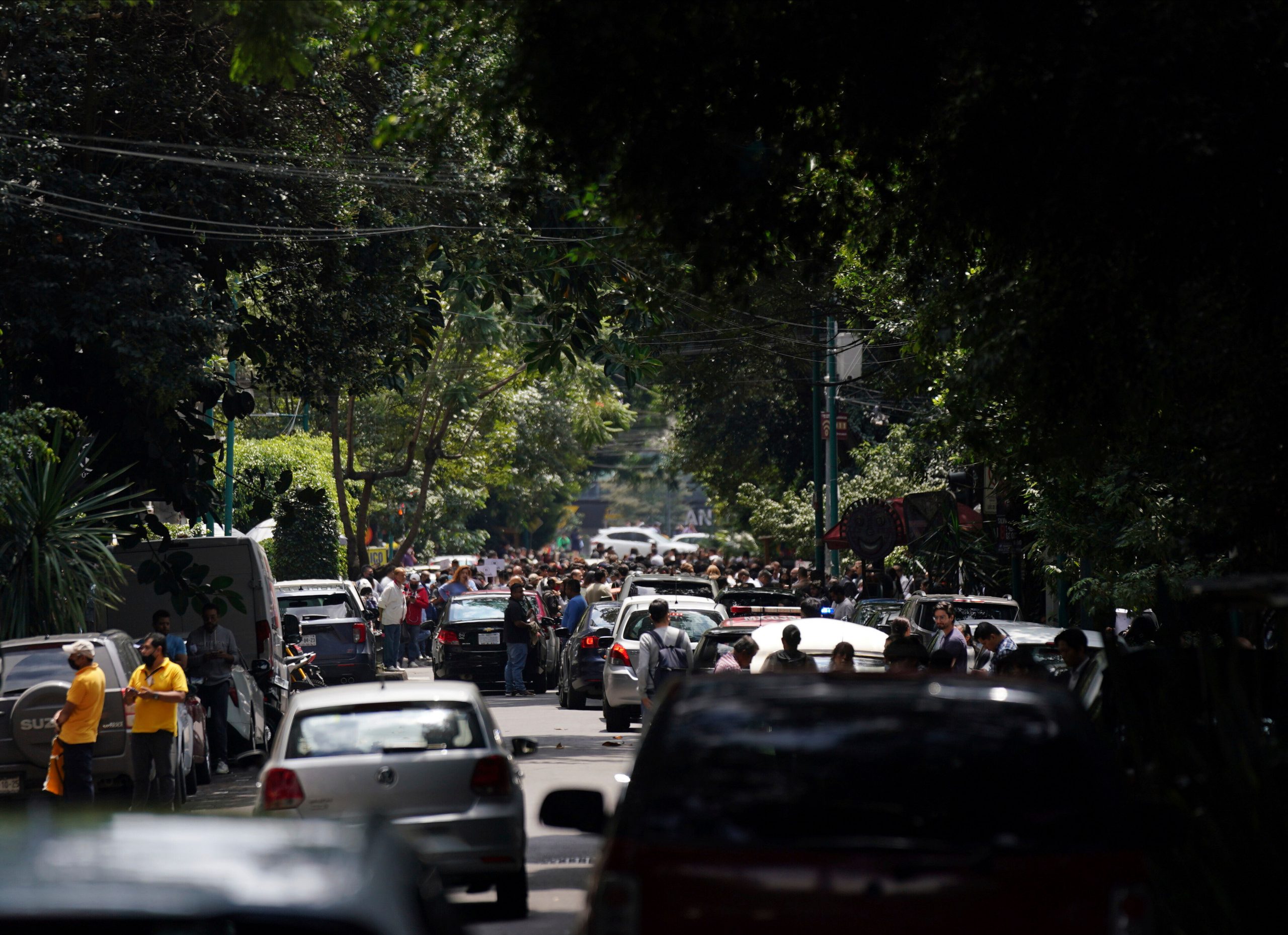
Mexico has been hit by an earthquake, the magnitude of which measured 7.6 on the Richter scale. One person has been killed in Manzanillo, Colima, a port city. This is the third time in recent history that the country has been struck by earthquakes on September 19. The other two occurred in 1985 and 2017.
The U.S. Geologic Survey reported that the earthquake had struck at 1:05 PM local time. AP reports that according to Mexico’s National Civil Defense, coastal water levels can vary upto 32 inches (82 cm) near the earthquake’s epicentre. The disaster does beg the question that why the central American country is susceptible to such frequent earthquakes.
The US Pacific Tsunami Warning Centre has said that the waves that reach one-three metres above tidal level have chances of hitting western Mexico’s coastal areas overnight.
Mexico is located at a subduction zone- a place where an oceanic plate (the Cocos) is sinking beneath the North American continental plate. The constant friction between the two plates builds up a lot of energy that is then released as an earthquake.
Subduction zones are the places where earthquakes with a magnitude of 9.0 or above can occur. A recent example would be the 2011 earthquake in Japan that resulted in 19,747 deaths.
Also Read| 5 most destructive earthquakes to have struck Mexico
The 2017 earthquakes in Mexico could have been stronger had they occurred between the Cocos and the North American plate. However, their origination was on the Cocos plate. Earthquakes that occur on one plate are generally weaker, but take place closer to the surface, thus having the potential to cause more damage.
New York Times spoke to Gavin Hayes, a researcher working with the United States Geological Survey, who said that Mexico City stands on a sedimentary basin, which tends to amplify the shaking more than what would happen if it was located over a bed rock.


