
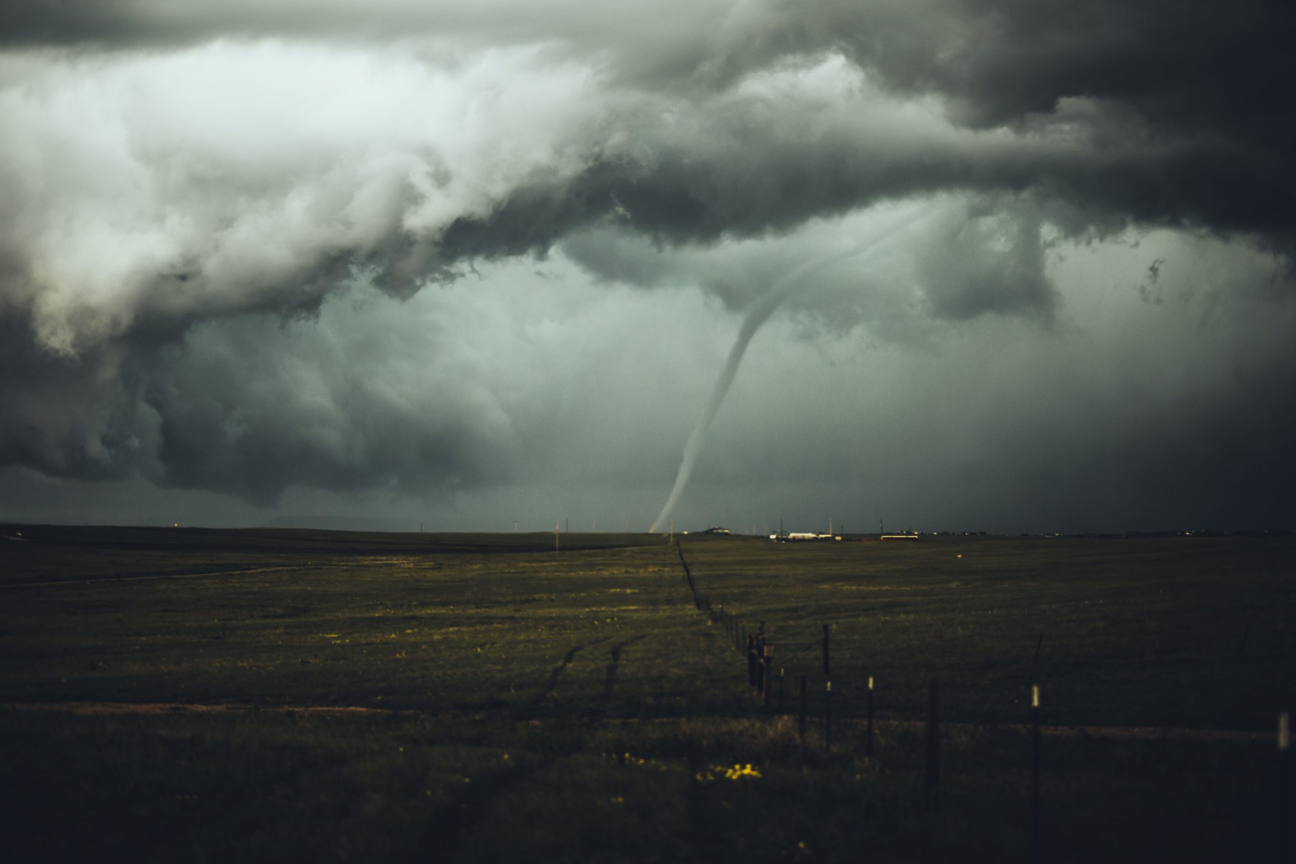
Parts of metro Atlanta and south Georgia have been put under a Tornado Watch after a powerful storm continues to pass through the state.
On Tuesday afternoon, the first round of storms passed through the state. Early Wednesday is predicted to receive more severe weather as showers and thunderstorms continued overnight.
Also Read | Illinois tornado: Warning issued, locals asked to stay home
The first round of storms moved through Georgia Tuesday afternoon, and more severe weather fired back up overnight into early Wednesday morning. The strongest storms will take place in the early morning hours, but those chances decrease in the early afternoon. Thursday will be cooler, but sunny. The temperature will stay below 60 degrees and overnight Thursday, it will drop into the mid-30s.
The National Weather Service has issued a Tornado Watch for the majority of Georgia below Interstate 20, including Bibb, Clayton, Dougherty, Fayette, Greene, Henry, Monroe, Rockdale, Spalding, Troup, and Upson counties. That watch remains in effect until noon.
Also Read | Winter Storm Elliott: What is bomb cyclone?
Parts of metro Atlanta that are not part of the Tornado Watch, will remain under a Flood Watch. Some of the main threats include damaging wind gusts, heavy rainfall, and brief tornadoes. There remains also a possibility of frequent lightning and hail. Wind speed could reach up to 60 mph, which could end up toppling trees and power lines, and causing damage to buildings.
Atlanta is slated to receive anywhere between 1 to 3 inches of rain within a short amount of time, accompanied by flooding. A Flood Watch will go in place for parts of South Georgia starting at 1 p.m. for the areas below Griffin, Georgia.
Also Read | Winter Storm Elliott: Where is bomb cyclone going to hit?
Habersham County Schools has declared that on Wednesday the start of school will be delayed by two hours. Bartow County Schools will also be operating on a two-hour delay.


